The IAEA and two African universities deploy sediment tracking tech in Kenya

Kilindini Harbor in Mombasa, Kenya, is East Africa’s largest international seaport. But rapid development of the Kenyan coastal zone is changing sediment distribution and dispersal patterns in the region, and shifting sediment poses safety and efficiency risks to ships in the harbor. With help from the International Atomic Energy Agency, a team of researchers from Kenya and South Africa has deployed a unique system to measure natural radionuclides in beach and aquatic sediments and map sediment transportation in the region. The IAEA described the mission in a photo essay published August 21.
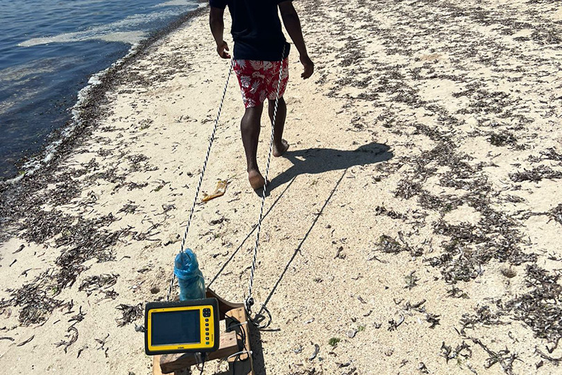
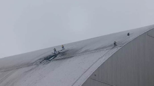
A team of experts and students used two systems—the terrestrial system shown here and a shipborne underwater radiation detection system—to track the movement of sediments in Kenya’s Kilindini Harbor by measuring levels of natural radionuclides. (Photo: IAEA)
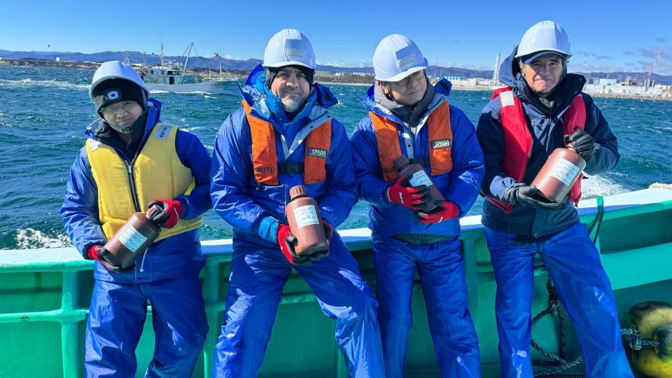
A system known as DUGS was used to detect radionuclides in harbor sediments while other shipborne equipment simultaneously measured the depth of the harbor’s waters. (Photo: IAEA)
Nuclear technology is a match: Aquatic sediments can be traced using artificial agents like dye tracers and fluorescent particles, but natural radionuclides found in beach and aquatic sediments can serve as an environmentally friendly alternative. Recognizing this, the IAEA worked with Stellenbosch University in South Africa and the University of Nairobi in Kenya to establish capabilities on the African continent to trace sediments using natural radionuclides.
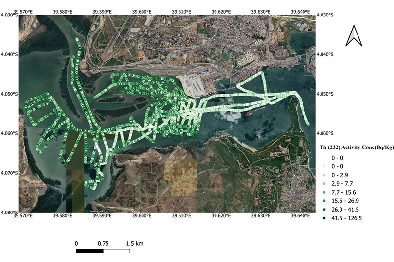
Researchers at Stellenbosch University developed two systems: a terrestrial gamma ray system to measure radionuclides in beach sediments, and the Delta Underwater Gamma-ray Detection System (DUGS) for assessing and mapping aquatic sediments. DUGS uses a gamma ray spectrometer to measure radiation from natural radionuclides in underwater sediments. Researchers can map and analyze sediment distribution by collecting and processing data in real time, and use that data to develop strategies to keep the harbor navigable.
Testing in Kenya: In April 2022, the IAEA facilitated the transfer of the technology to Kenya using a collaboration framework established by the African Regional Cooperative Agreement for Research, Development and Training related to Nuclear Science and Technology (AFRA). The University of Nairobi received a DUGS system and training on sedimentation, radionuclides, and system operation, and in November 2022 the IAEA participated in a mission to assess Kilindini Harbor using the equipment.
A 10-person team comprising experts and students used DUGS to conduct an underwater survey of the area between the Mwache River and Kilindini Port. Using the terrestrial gamma ray system, they surveyed the beaches surrounding the Kilindini Port to measure radionuclide concentrations and determine the origins of sediment in the harbor.
Students from both Kenya and South Africa participated in the project, and two female students from Kenya also received IAEA fellowships in computational physics and sedimentation mapping in South Africa, according to the IAEA.
See more online: For more information about the project—and more photos—view the IAEA’s photo essay.